Building Tomorrow's Landmarks Today
Hydrosprey Services Limited is an indigenous hydrographic and offshore support company providing
end-to-end marine surveying, mapping and technical support solutions across Nigeria and West Africa.
We combine modern survey technologies with experienced marine personnel to deliver accurate,
reliable and timely data that supports decision-making in maritime infrastructure, offshore energy,
dredging, coastal development and inland waterways navigation.
1+
Years Experience
2+
Projects Completed
2+
Expert Team
RC:7810785
CAC Certified
Our Services
Comprehensive marine and offshore solutions tailored to your needs
Hydrographic Surveys
We provide accurate and high-resolution mapping of the seafloor and coastal waters using advanced multibeam, single beam, side-scan sonar and GNSS positioning systems. Our solutions support port development, dredging operations, coastal engineering, navigation safety and offshore energy projects.
Land Surveys
Our land survey team delivers precise topographic, cadastral and route surveys using modern GNSS RTK, total stations and drone photogrammetry. We support planning, design, land acquisition, construction and documentation for government and private clients.
Dredging Support Services
From pre-dredge to post-dredge surveys, volume verification and environmental monitoring, we help ensure dredging operations are executed efficiently and to required specifications. We support marine contractors, port authorities and developers.
Additional Services
Contact us for any of the specialized services below
Aerial Mapping
We capture high-resolution aerial imagery and create detailed orthomosaics, 3D terrain models, monitoring reports and environmental change-maps. Ideal for ports, coastlines, construction, conservation and utility infrastructures.
Engineering / Construction Surveys
We provide route alignment, pipeline corridor mapping, construction setting-out, as-built surveys, volumetrics and QA/QC documentation to ensure projects are delivered accurately and safely from start to finish.
Marine Geophysical Investigations
Using sub-bottom profiling, magnetometers, electrical resistivity and other geophysical tools, we map sub-surface layers to support foundation design, dredging, cabling, pipeline routing, offshore structures and environmental assessments.
Spatial Data Management
Geospatial data management and making them available to end users through structured platforms and interactive dashboards.
Offshore Support Services
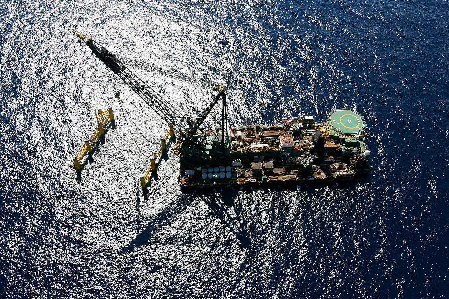
We supply vessels, marine personnel, survey support services, ROV operations and project coordination for oil & gas, offshore construction and marine energy projects in Nigeria and across West Africa.
Vessel & Equipment Brokerage
We connect clients with suitable survey vessels, workboats, barges, tugboats, ROVs, positioning systems and other marine assets, supported by technical oversight, documentation and operational readiness checks.
Ready to Start Your Project?
Are you ready to start or continue a project? Our expert team is standing by to help you succeed.